Map · Latin
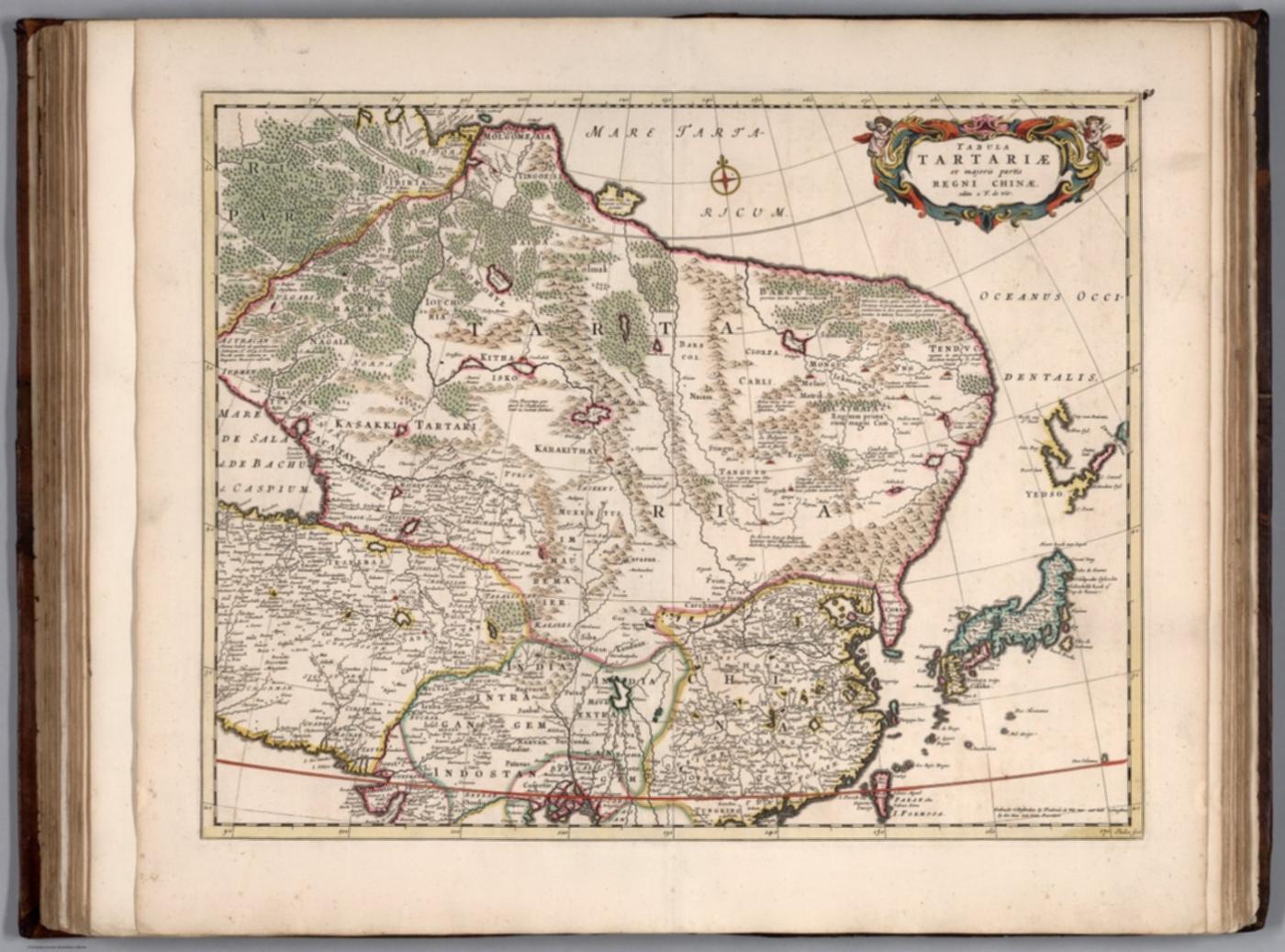
Tabula Tartariae et majoris partis Regni Chinae (Map of Tartary and the greater part of the Kingdom of China), De Wit atlas c.1682
Tabula Tartariae et majoris partis Regni Chinae.
Frederick de Wit, Amsterdam
How we know
compilation Assembled from earlier sources. The author did not observe it directly.
Compilation; no observation by the mapmaker.
Research notes
- Derived from Martini/Blaeu China and the Blaeu Tartaria; parallel Uppsala copy on IA (arkivkopia.se-ublu-22274, dated 1662). Not independent.
- Rumsey note: Date estimated.
Why it matters
Post-Manchu-conquest Dutch map pairing Tartary with China (cf. W094, W099) before Witsen: shows the Dutch trade's 'Tartaria' as the Manchu-Mongol north of the Wall in the 1680s.
Places named
Tartary; China; Manchuria; Mongolia; Korea; Great Wall
Who copied whom
Earlier in the chain
- Tartaria sive Magni Chami Imperium M050, c. 1640this one was drawn from it (stated)De Wit from Martini 1655 plus Blaeu Tartaria
Keep exploring
The maps drawn just before and just after this one.


