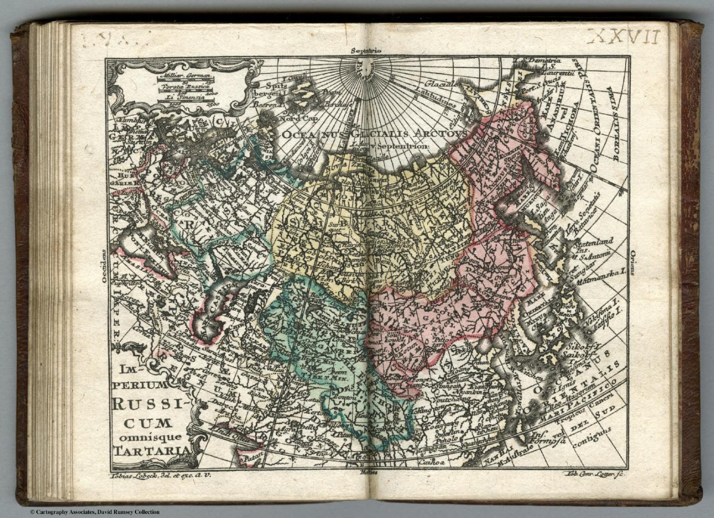
Imperium Russicum omnisque Tartaria (The Russian Empire and all Tartary), miniature map in Atlas geographicus portatilis, c.1762
Imperium Russicum Omnisque Tartaria. (engraved by) Tobias Lobeck. Tob. Conr. Lotter. Scups. (to accompany) Atlas Geographicus Portatilis, XXIX, Mappis Orbis Habitabilis Regna Exhibens. Caelo Accurate Expressit Tobias Conradus Lotterus, Delineavit et Excudit Tobias Lobeck, Chalcograph: Augustan... (A
Tobias Conrad Lotter (engraver), Tobias Lobeck (engraver), Augsburg
How we know
compilation Assembled from earlier sources. The author did not observe it directly.
Compilation: reduced from Homann/Seutter general maps of Russia and Tartary; no observation.
Research notes
- Derivative miniature; not an independent witness. Date estimated by catalogue.
- Rumsey note: Full color and hand colored in outline map of Russia. Date is estimated. Miniature pocket atlas. Consists entirely of double-page engraved plates and hand-colored maps. This was also published with text, not present here. Engraved frontispiece and title page by Tobias Lobeck after G. Eichler, follow
Why it matters
Shows that in German pocket atlases of the 1760s 'omnis Tartaria' was still treated as a single unit alongside the Russian Empire, decades after the Atlas Russicus (1745) had mapped Siberia administratively.
Places named
Russian Empire; Tartaria (Siberia, Independent and Chinese Tartary shown together); Caspian; Kamchatka
Who copied whom
- this one was drawn from it (probable)Lotter reduces the Homann/Seutter Russia and Tartary maps
Keep exploring
The maps drawn just before and just after this one.


