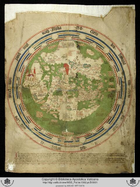
Kharidat al-aja’ib (The Pearl of Wonders): circular world map on fol. 6b, Library of Congress Arabic manuscript SM-3 (16th century)
خريدة العجائب وفريدة الغرائب
Ibn al-Wardi (d. 1457; older attribution to Zayn al-Din Ibn al-Wardi, d. 1349)

How we know
compilation Assembled from earlier sources. The author did not observe it directly.
compilation: a fifteenth-century Mamluk-era digest of Ibn al-Wardi, al-Qazwini and earlier geographers; the map is the standard late-medieval Islamic schematic world map with Gog and Magog enclosure
Research notes
- Authorship contested between the two Ibn al-Wardis (LOC lists both). LOC segment numbering skips two images (0027-0028), so folio-to-segment mapping is offset: fol. 6b = segment 0029. Egyptian copy per LOC note.
- Labels read: بحيرة خوارزم, ماوراء النهر, بلاد المغرب, ارض الحبشة; المشرق (left) and المغرب (right) margins; south-up orientation. Gog and Magog enclosure in the lower-left (north-east) quadrant as in other Kharidat copies.
Why it matters
A widely copied late-medieval Islamic world map that places the Turks and Khwarazm on the northern rim beside the Gog and Magog wall; it shows the schematic frame through which Ottoman and Mamluk readers of the 15th-17th centuries pictured Inner Asia, in contrast to the Balkhi and Idrisi maps.
Places named
Whole inhabited world in schematic form; Khwarazm lake (Aral), Transoxiana, Turk lands, Gog and Magog wall, China, Maghrib
Who copied whom
No copying traced for this map yet. See the family trees.
Keep exploring
The maps drawn just before and just after this one.