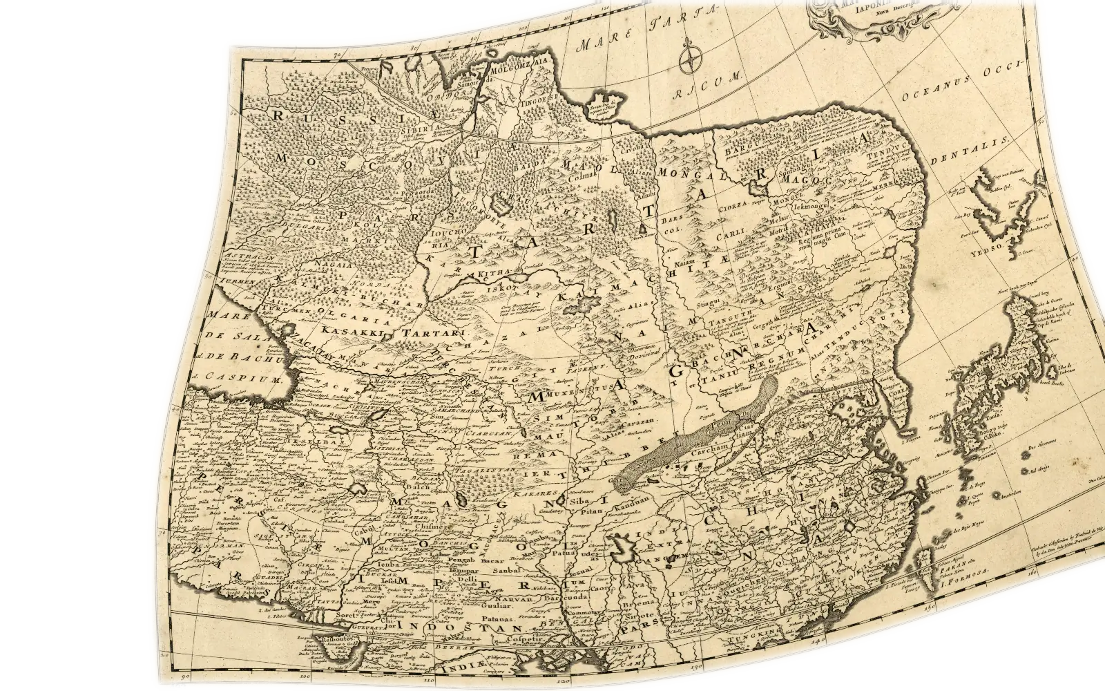
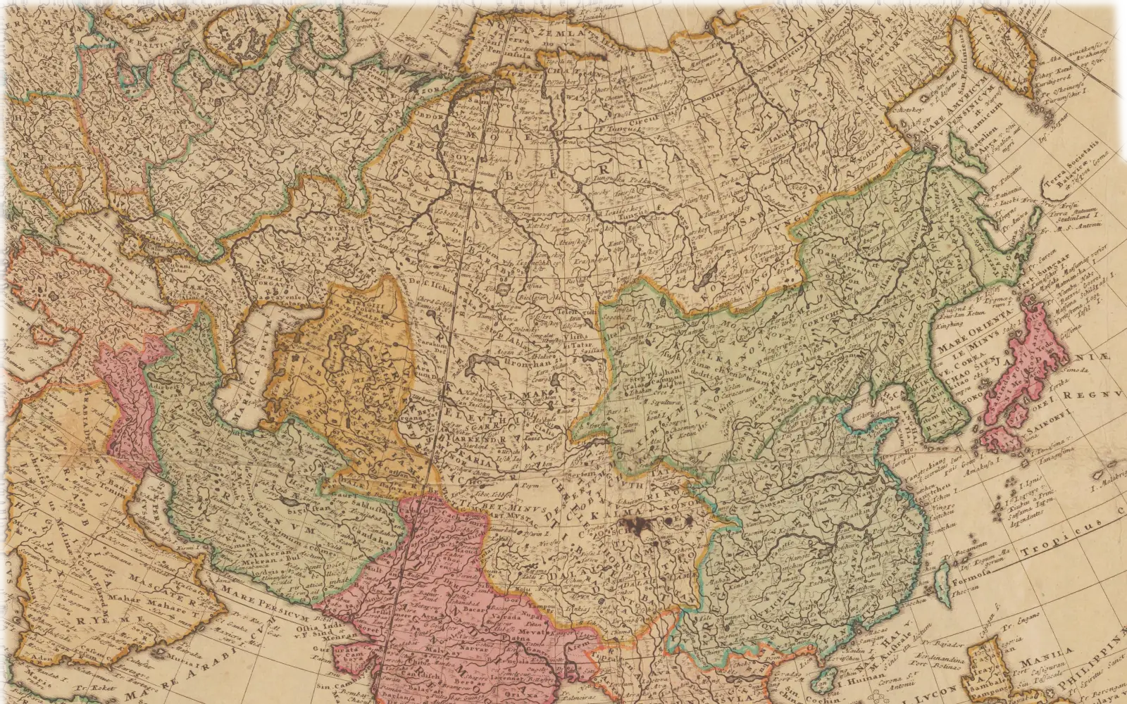
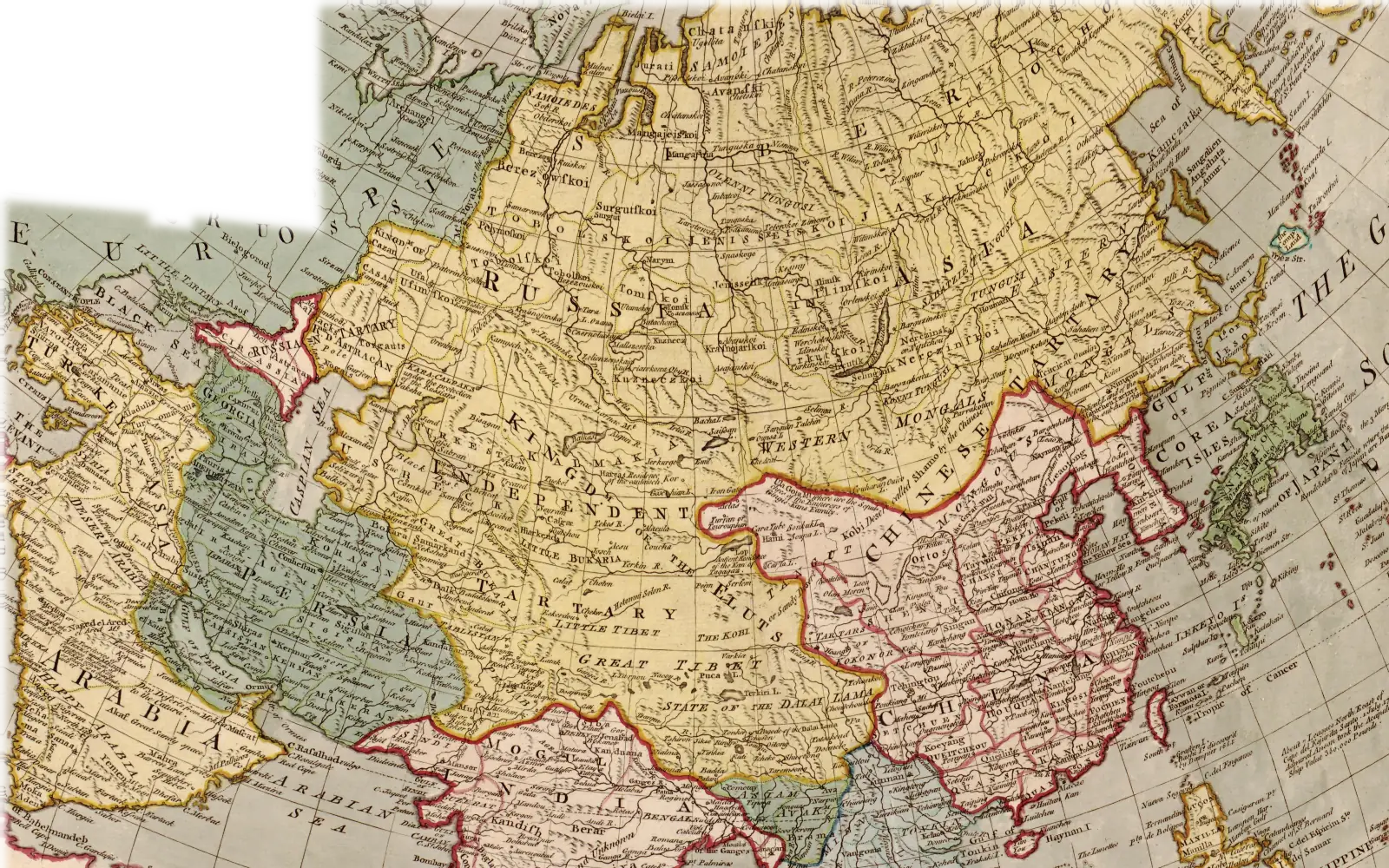
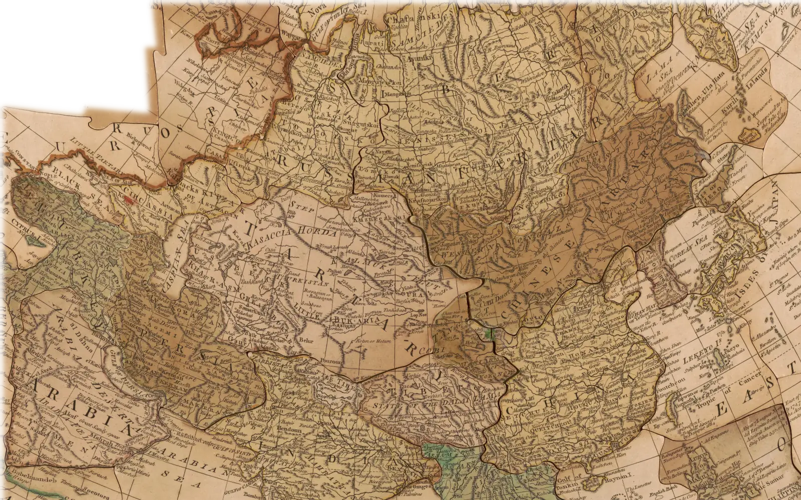
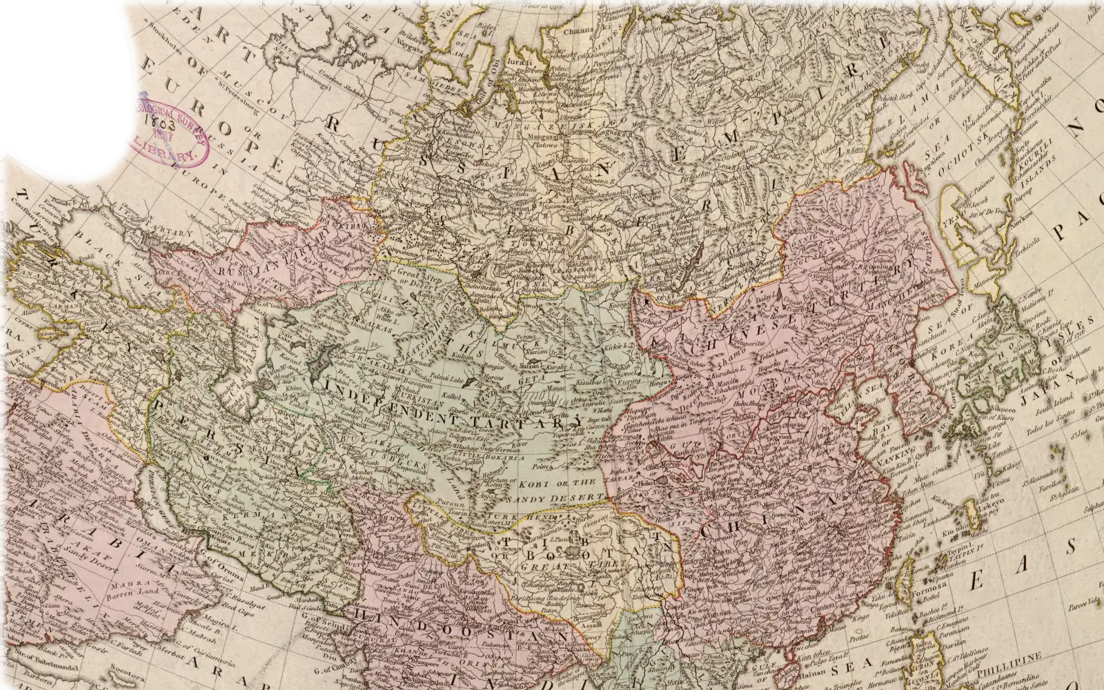
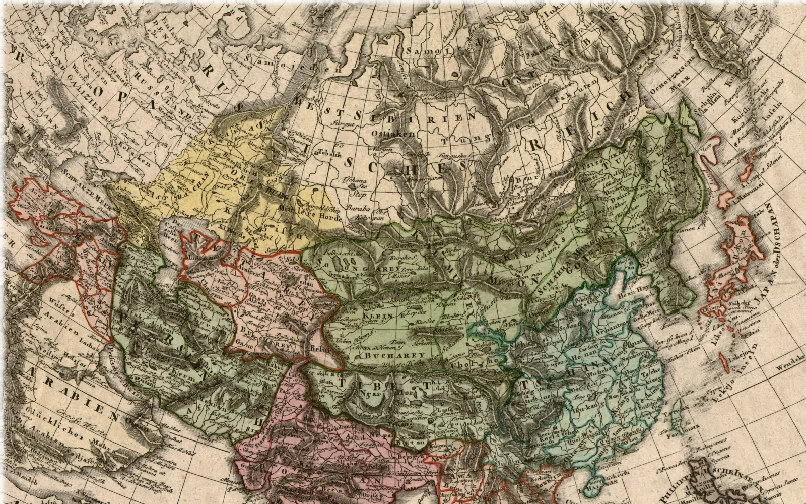
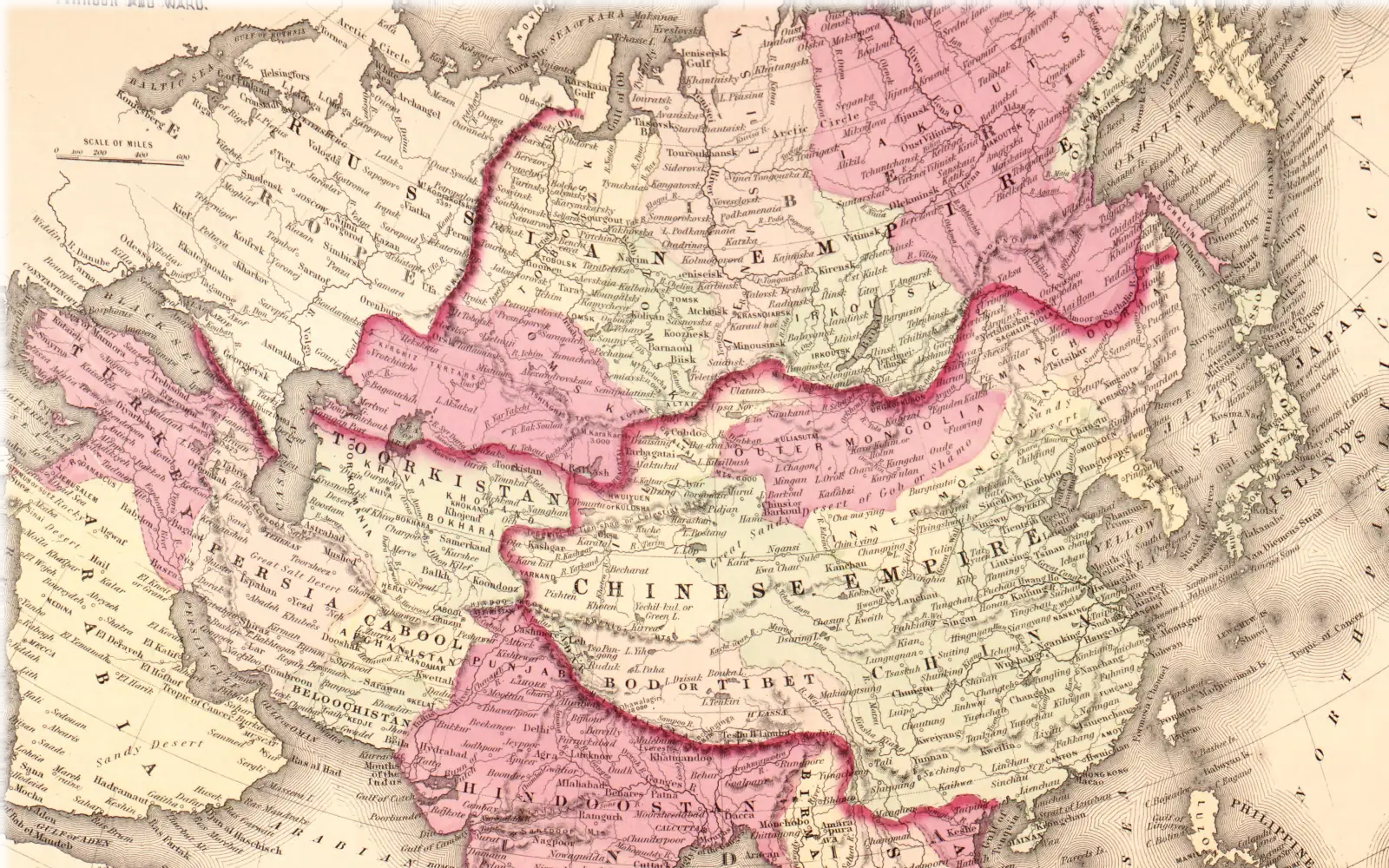
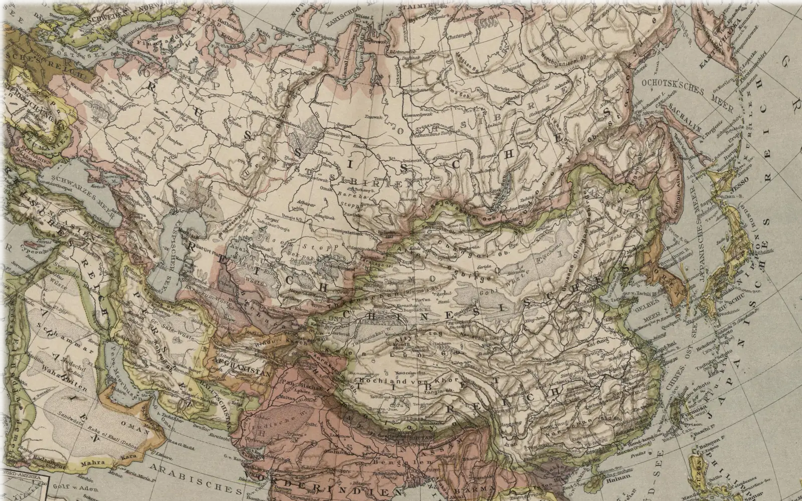
about 1743 · The Homann firm · Map of Asia
Great Tartary as one colour, Siberia inside it
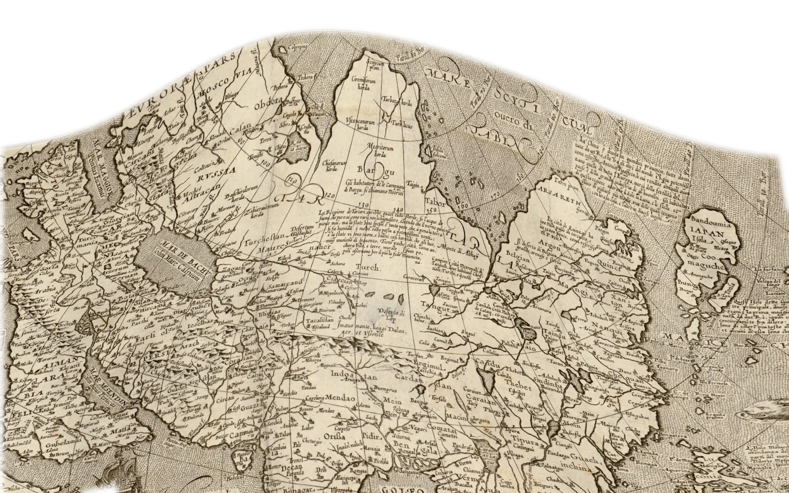
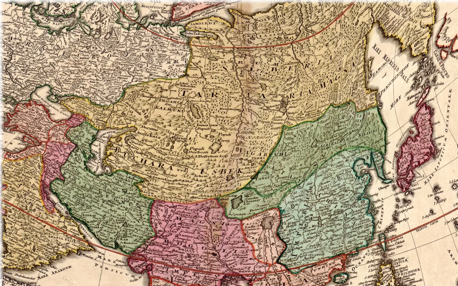
Recentissima Asiae Delineatio, Qua Imperia, ejus Regna, et Status, Unacum novissimis Russorum detectionibus circa Mare Caspium et Terram Yedso alias…
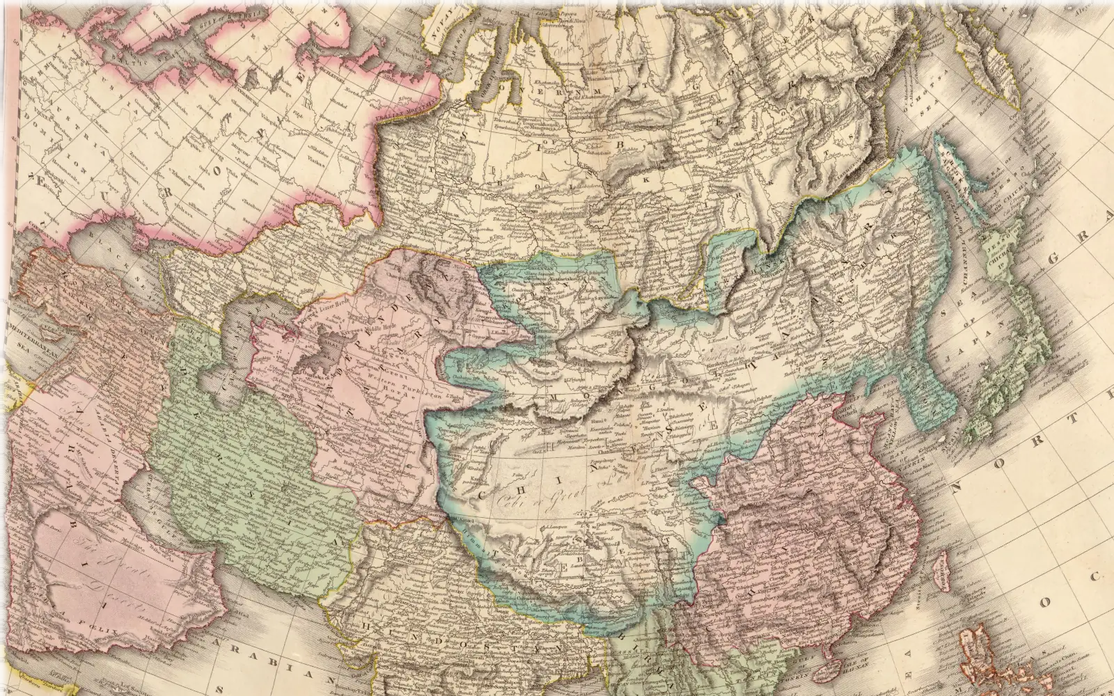
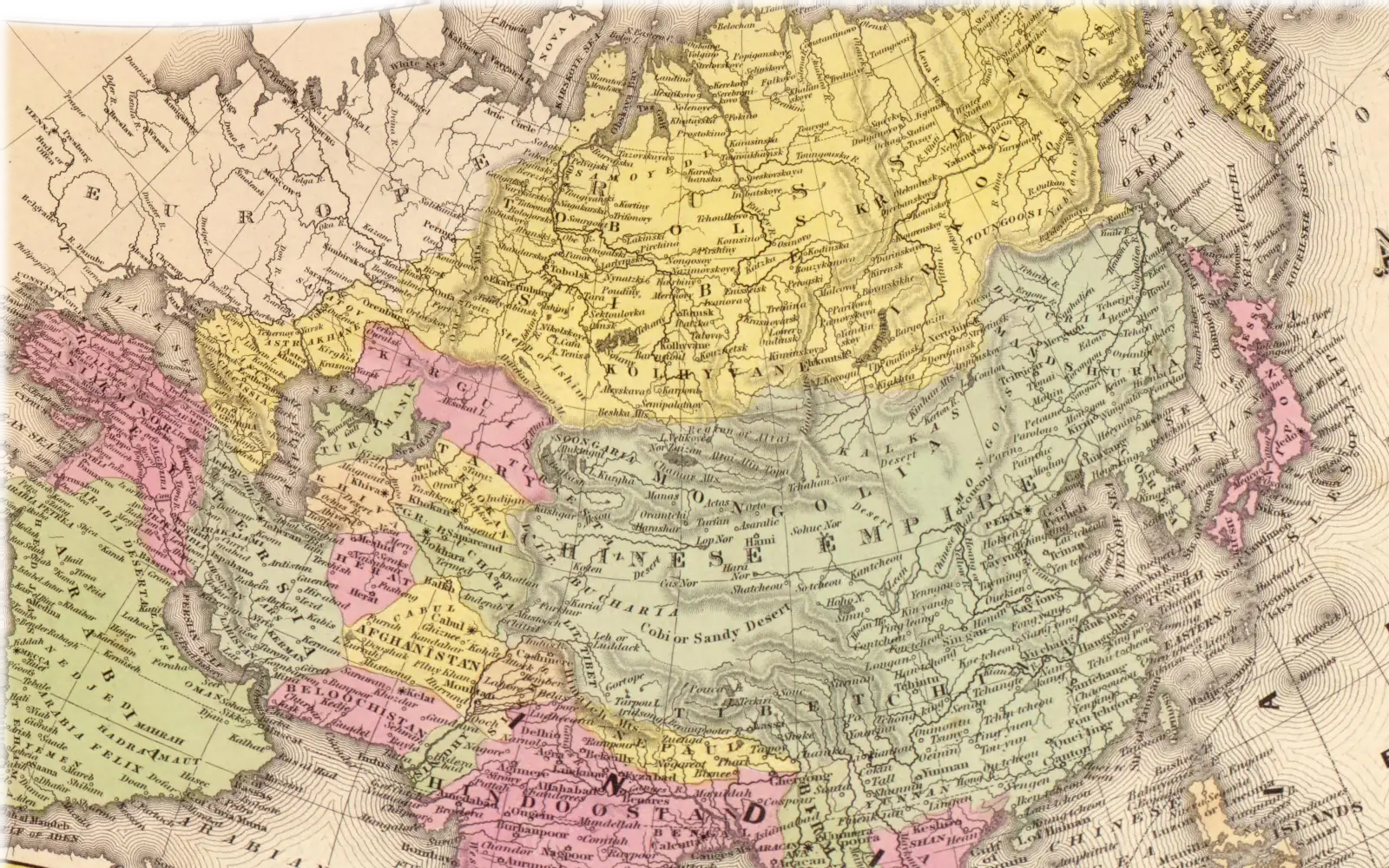
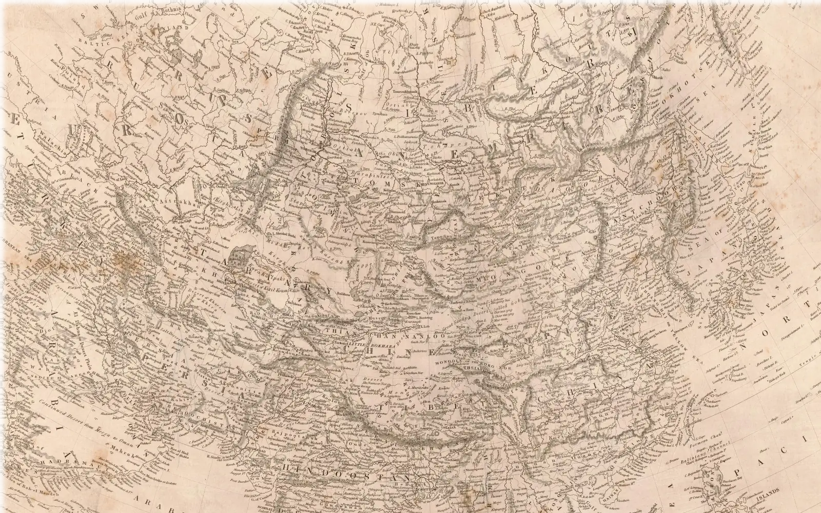
Homann letters TARTARIA MAGNA, Great Tartary, in the largest letters on the mainland, from the Irtysh to the Pacific, and this copy washes one yellow colour over everything from the Urals and the Caspian to Kamchatka, so that Siberia, the Kalmyk country and Bukhara all sit inside it. The word IMPERIUM RUSSORUM, Empire of the Russians, runs from Europe across the Urals into the same ground, and SIBERIA is lettered just above Tartaria Magna, so Tartary here is a region with Russian Siberia inside it and not a state. Beyond the Amur, inside the green of the Chinese empire, stands TARTARIA CHINENSIS, Chinese Tartary, and north of the Black Sea TARTARIA MINOR, Little Tartary. The Arctic off the Lena is called MARE TARTARICUM and the Circassians are named CIRCASSI TARTARI.
The whole sheet at the Library of Congress
Laid on the earth by 122 matched places. Left out one at a time, a place lands about 177 km from where it belongs; the worst lands 1,027 km off. That is the mapmaker's error, kept on purpose.
What is uncertain (4 notes)
- The sheet prints no year. About 1743 is the library's guess for the school atlas this copy was sold in; the map itself was most likely drawn about 1725 to 1730.
- The outline of Great Tartary follows the hand colouring of this one copy. The engraved map gives the name no border of its own.
- The west side of Chinese Tartary and all of Little Tartary are our reading of where the lettering sits, since the map draws no limit there.
- North-east Siberia and Kamchatka were drawn from early Russian reports and sit hundreds of kilometres from their true places, so the map bends badly there.